
My practice demands that I experience the environment both on foot and from the air. That same evening we flew with a wonderful pilot named Matthias who had agreed to let me sit beside him up front.


We looked down on that same trail along the edge of the fjord that we had we trekked just hours before.
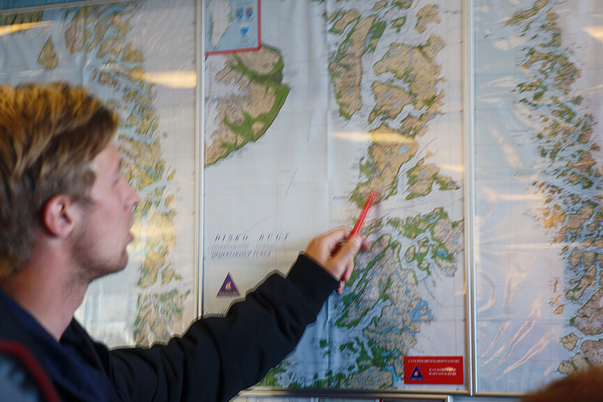
Of course by plane (a P68, much like the Cessna 72 I usually use) we continued much further in and up the glacier. The fjord actually is 60 Kilometers in length before it reaches the actual solid glacier. This glacier has been diminishing rapidly for years.
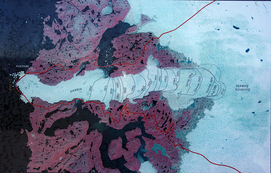
Here is a recessional map that tells the whole story:
We witnessed vast stretches of broken ice mixed with icebergs: glacier deposits of ice debris.


As we climbed up we saw all the surge lines and the huge complex system below us.


Towards 10 PM we headed back into the fog seeing the village of Ilulissat below.

